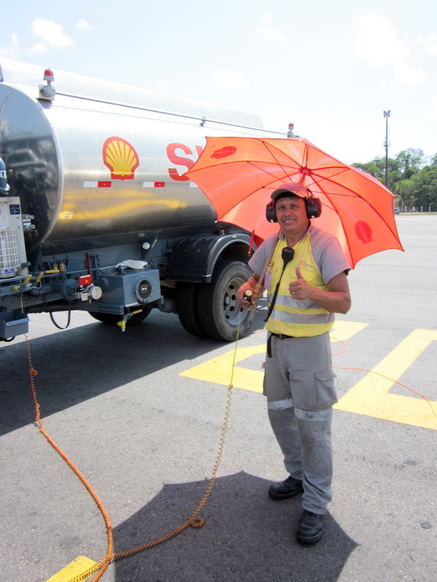
 Fueling before start, the umbrella helps in the Brazilian sun
 The flight AC14 had two main scientific objectives. First, we wanted to collect microphysical cloud data in a coordinated flight jointly with our US colleagues flying with the G1 aircraft. Those measurements should be compared in order to assure that we can use each other’s data for further analysis of the ACRIDICON-CHUVA campaign. Furthermore, we wanted to compare the aircraft cloud data with those collected by the ground based radar. Second, we intended another meeting with the A-train satellites. Only the second objective was fully achieved. The first objective was reached only partly, because the clouds were quite shallow and could not be seen by the ground-based radar. But this is how science and in particular atmospheric observations work: Sometimes you are lucky, on other occasions you may fail.
 Cloud probes mounted on the wing for the intercomparison of cloud measurements
 The coordination between the two aircraft during the comparison part of the flight (first objective) is kind of tricky, because the aircraft need to be vertically separated by 1000 feet to make sure they don’t collide. On the other hand we wanted them to be collocated vertically above each other, which is a challenge because the optimal speed of the two aircraft is not exactly the same. Somehow the pilots managed these issues; they are professionals.
For the satellite meeting all went smoothly. The timing was perfect and the clouds were well developed. After the rendezvous with the A-train we climbed to FL480 which is a new altitude record for HALO in PMS configuration. We also celebrated the HALO flight hour number 1000 during this flight.
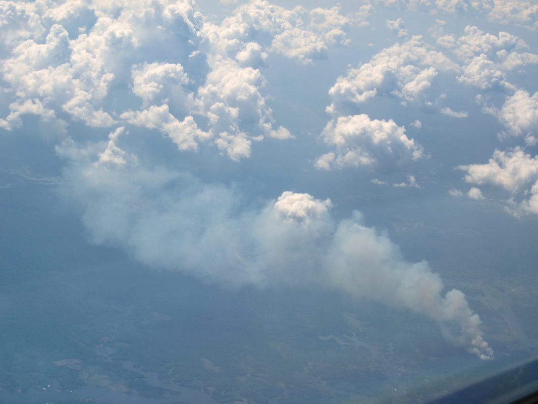 A baby pyro-cumulus | 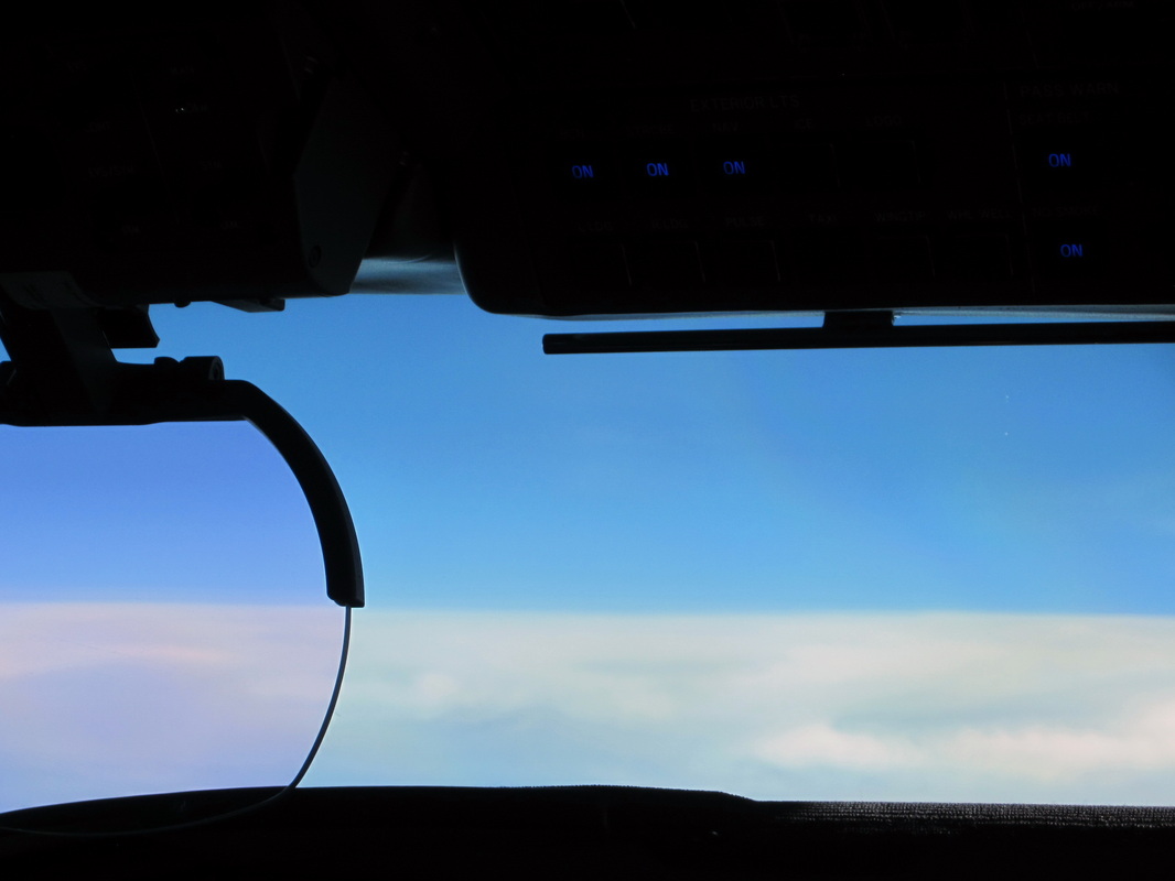 Above cirrus! HALO record altitude with PMS configuration: FL480 |
Again, this was a nice flight with HALO. Thanks to the pilots (Steffen & Michi), the flight technician (Tommy), and the scientists in the back (Tina, Rebecca, and Frank)!
(Guest blogger and pictures: Manfred Wendisch)
(Guest blogger and pictures: Manfred Wendisch)
 RSS Feed