ACRIDICON-CHUVA
  • Blog
  • About
  • Contact

Land Use Change, and HALO visits ATTO (AC17 - 27 Sep 2014)

9/30/2014

1 Comment

 
Picture
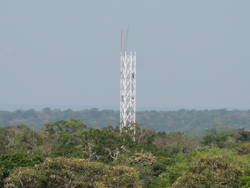
So far we have had successful flights for all the five mission types of the campaign, except one which we call the “cloud contrast mission”. This mission was proposed by our Brazilian colleagues who are interested in measuring the convective cloud properties over rain forest and compare it with those collected over deforested areas. Certain differences are expected mainly because of different surface properties (e.g., temperature, latent, and sensible heat fluxes). Therefore, we planned a flight pattern covering different surface types, i.e., extended legs at different altitudes over rainforest, deforested areas and transition zones. As a second mission objective we wanted to compare the airborne data with measurements of the GPM (Global Precipitation Measurement) satellite. Thus, we planned to meet the satellite during the second part of our flight, an exercise that the pilots have already lots of experience with. Last but not least we wanted to fly over the ATTO site, to link the airborne with the tower measurements. As a side product, we wanted to take nice pictures of the tower during the flight.
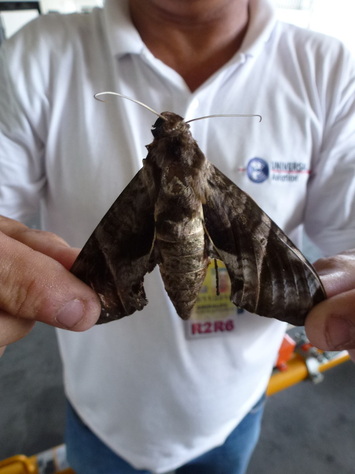
Before taking-off we experienced tropical insects in the hangar, “slightly larger” compared to what we know from Europe (see photo).
Picture
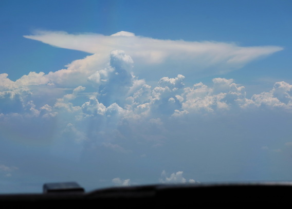
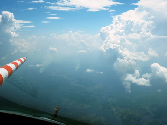
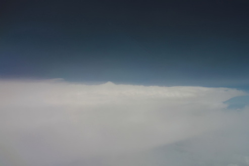
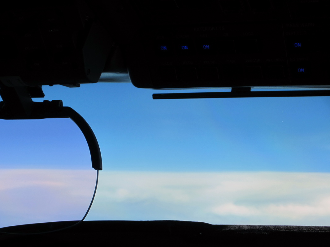
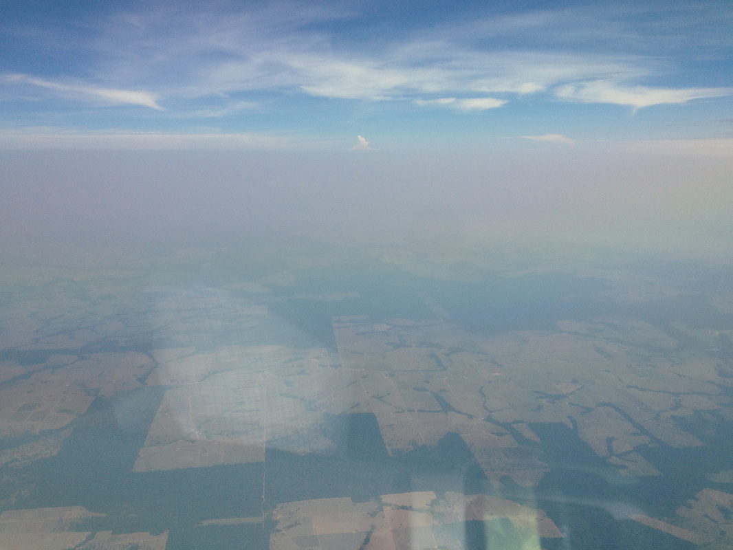
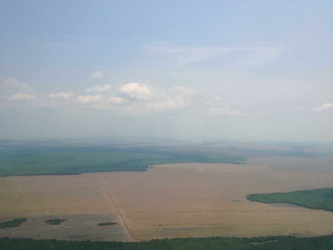
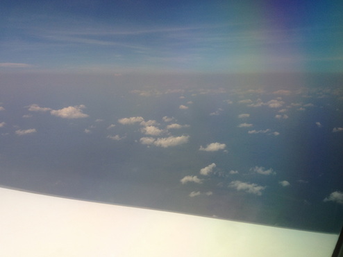
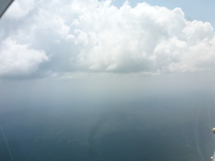
The take-off procedure went very smoothly, as usual. After take-off we climbed and saw that the atmosphere was extremely hazy, in particular below the clouds (see photo). It’s difficult to take an attractive picture of hazy air!

Picture
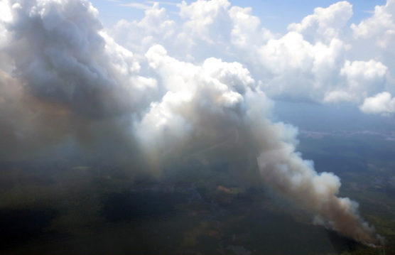
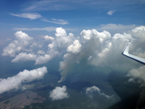
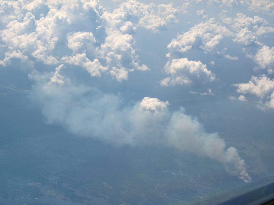
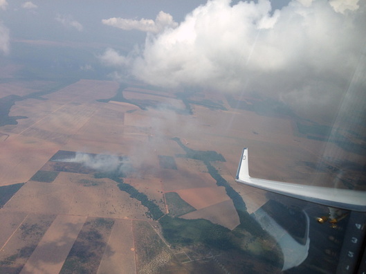
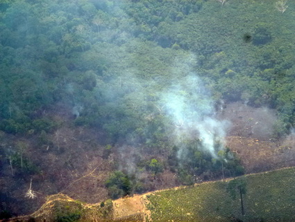
During flight we encountered a lot of fires, especially in the southern part of our track. We are very curious how these fires have influenced the cloud properties; there is exciting analysis work ahead of us. Taking good measurements is only the first step; the fun part starts if you look at the data in more detail after the campaign to make real science out of the measurements. Both parts are equally important for our job.

The picture to the right shows a small deforestation fires that has just about run its course.
Picture
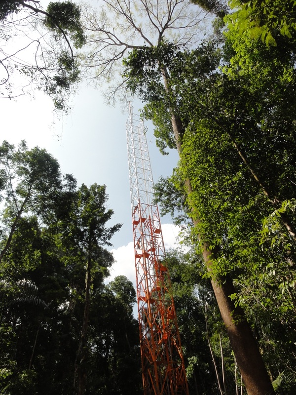
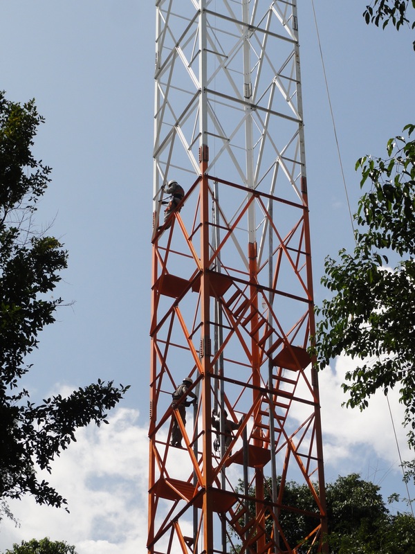
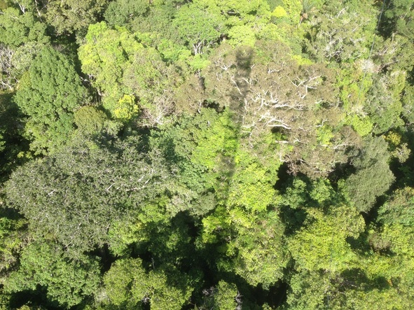
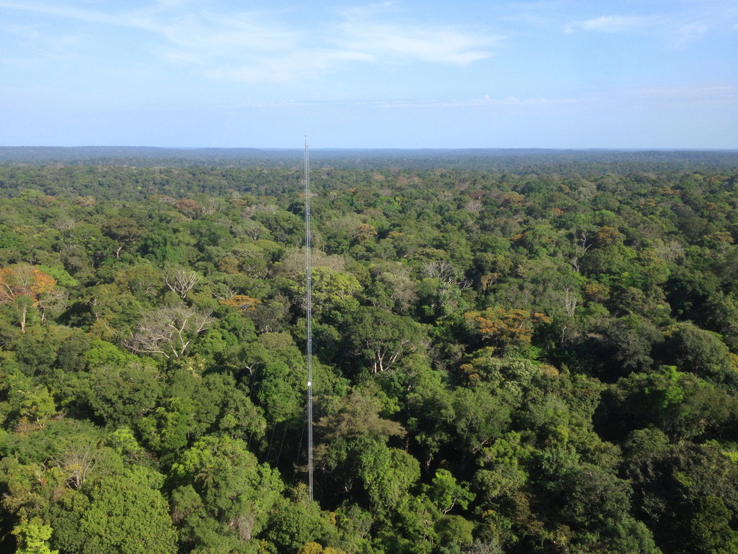
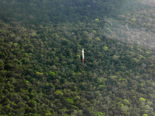
At the end of flight AC17 we took the opportunity to overfly ATTO, make pictures and collect data to link the tower observations with the airborne measurements. This was not as trivial as it sounds because to fly over the tower required entering a military, restricted airspace. Our military observer was actually very helpful in obtaining the permission to fly in this area.
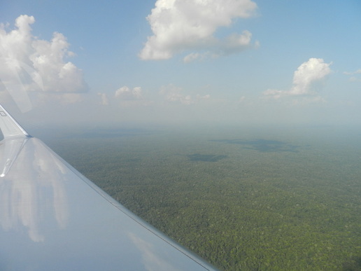

PictureThe Amazon forest in the ATTO area
We had a good flight and we believe we have now reached most of the scientific objectives of the mission. Detailed analysis is required to quantitatively evaluate the results. Thanks to the whole team, namely the pilots (Stefan and Steffen), our flight technician (Alex), the military observer (Tenente Mendez) who actually was very helpful in maintaining contact with the Portuguese-only-speaking ATC operator at the ground, and the scientists (Tina, Daniel, Tobias, and Christopher)!

(Guest blogger: Manfred Wendisch; photos: Manfred Wendisch, Tina Jurkat)
1 Comment

ATTO Keeps Growing (26 Sep 2014)

9/29/2014

0 Comments

 
Picture
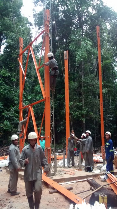
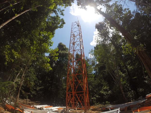
The satellite communication system at the ATTO tower site has been down now for a few days, and there was no way to satisfy our curiosity about progress at the site. Finally, a few pictures were brought back with one of the weekly servicing trips. They had been taken a few days back, on 23 and 24 September. It was great to see that the tower is growing at a fast pace! At this point, the tower is about 60 m tall, and guy wires need to be installed to support it.

Picture
Picture
0 Comments

Tracer Transport Take Two (AC16 - 25 Sep 2014)

9/29/2014

0 Comments

 
Picture
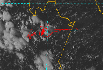
In science, any experiment is only considered credible, if it can be replicated. HALO’s task today was to replicate the tracer experiment AC11 from 16 September. The tracer was released again from the top of the Park Suites Hotel at about 0600L. HALO took off under the leadership of Hans Schlager at 1047L (1447Z). The team began by taking air samples for tracer measurements at 2000’and 4000’ in an area west of Manaus, and then climbed to 35,000’, heading east in the hopes of finding big cumulus clouds to investigate. The satellite image to the left shows the flight track and the Cb clouds that were sampled during this flight.

Picture
It turned out that there were no clouds big enough to be of interest in the east, so HALO turned around to go to a big cumulonimbus (Cb) cloud that had been spotted southwest of the city. The aircraft descended into the boundary layer at 4000’ to sample the air at low levels, and then began to probe clouds at 4500’ from 1700Z to 1720Z. Since the whole central Amazon Basin has been surprisingly dry now for days, fires began to be lit everywhere, particularly in the inhabited rural areas surrounding Manaus.

Picture
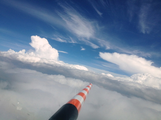
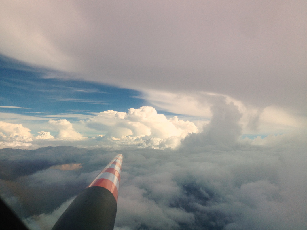
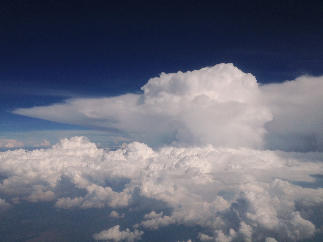
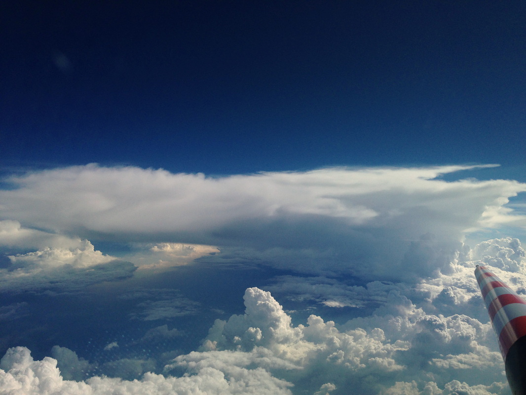
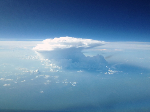
After these measurements at low level, HALO climbed to the top of the large Cb cloud and made measurements in its outflow anvil between FL310 (31,000’) and FL390.This took until 1846Z, and yielded beautiful data as well as beautiful views.

PictureSampling Smoking Clouds
The next task now was to find the tracer again, that had been drifting through the air since morning. Model calculations predicted that some of it had been sucked into a big cumulus cloud west of Manaus, and to test this prediction, HALO took samples in the outflow from this cloud at FL370 between 1903Z and 1940Z. The flight concluded by additional tracer sampling at low levels and cloud probing at 6000’. Landing was at 2110Z.

Photos: Hans Schlager


0 Comments

Early Bird Gets the Albedo (AC15 - 23 Sep 2014)

9/25/2014

0 Comments

 
Picture
AC15 was a HALO flight for early risers, the take-off was planned for 06:30 LT! To meet this schedule, the preparation of HALO and its scientific instrumentation had to start four hours before takeoff. Therefore, HALO was moved from the hangar to the apron at 03:30 am already. The scientists met at 04:00 LT at Terminal 2 to enter the airport.

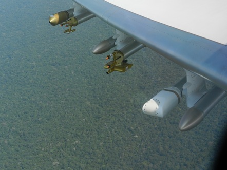
The picture on the left shows the probes on the wings and the rainforest below during the albedo measurements

PictureA smoke plume rises from a deforestation fire and grows into a pyrocumulus cloud (1715Z)
Why so early? Well, this special mission required cloudless conditions; clouds would actually hurt the measurements. That sounds strange for a convective cloud campaign. However, the main objective of this flight was to measure the surface albedo of the rain forest (a measure of how much of the incoming solar radiation is reflected by the ground) and compare it with the albedo of deforested areas. This type of data is needed as a crucial input for radiative transfer simulations which are needed to analyze, for example, the satellite intercomparisons performed during AC10 and AC14. In general, albedo data are required to evaluate all the radiation measurements carried out during ACRIDICON. These albedo measurements have to be performed under cloudless conditions and, therefore, we had to schedule such an early flight, well before convective clouds would evolve.

PictureApproaching an outflow
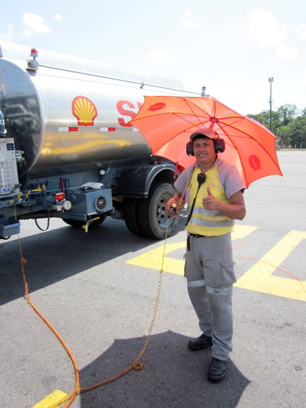
It was not quite clear whether the 06:30 take-off would actually work. Too many ifs and buts could cause unexpected delays. The fueling turned out to be a potential problem so early in the morning. However, our colleagues from DLR-FX successfully managed to maintain the schedule. The flight preparation went very smoothly, and actually we took off two minutes ahead of the planned 06:30L.


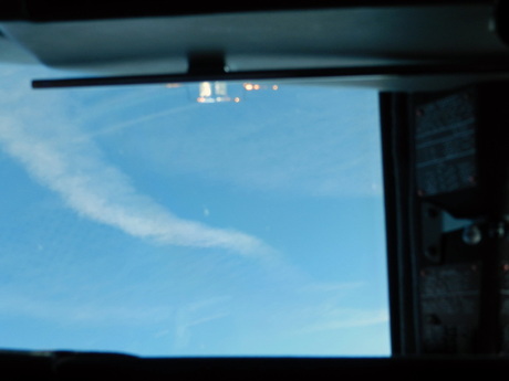
PictureAt one point in the flight, HALO came back along the same track and found its own contrail!
The albedo measurements were performed at low level (3,000 feet). They worked very well; the timing was perfect and we were lucky because no clouds perturbed our measurements. We collected about two hours of albedo data before the regular, daily convective cloud evolution started. After the albedo measurements, we climbed to an altitude of 43,000 feet and sampled a huge outflow, which looked almost frightening from a distance. We probed the outflow at different altitudes and subsequently descended to measure above, within, and below convective clouds at lower levels.

Altogether we had a very successful flight. As usual, the collaboration with the pilots (Stefan & Steffen) was simply great; the team of instrument operators (Chrischi, Fabian, Adrian, Florian) and the mission PI had a lot of fun. Thanks to all of you!
(Guest blogger: Manfred Wendisch. Picture credits: Manfred Wendisch, Florian Ewald, Steffen Gemsa)

0 Comments

Two Airplanes and a Satellite (AC14 - 21 Sep 2014)

9/24/2014

0 Comments

 
PictureFueling before start, the umbrella helps in the Brazilian sun
The flight AC14 had two main scientific objectives. First, we wanted to collect microphysical cloud data in a coordinated flight jointly with our US colleagues flying with the G1 aircraft. Those measurements should be compared in order to assure that we can use each other’s data for further analysis of the ACRIDICON-CHUVA campaign. Furthermore, we wanted to compare the aircraft cloud data with those collected by the ground based radar. Second, we intended another meeting with the A-train satellites. Only the second objective was fully achieved. The first objective was reached only partly, because the clouds were quite shallow and could not be seen by the ground-based radar. But this is how science and in particular atmospheric observations work: Sometimes you are lucky, on other occasions you may fail.


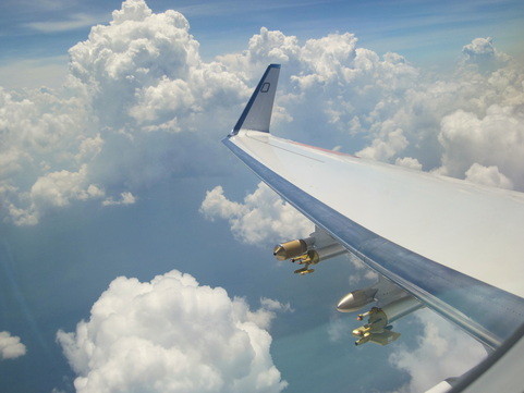
PictureCloud probes mounted on the wing for the intercomparison of cloud measurements
The coordination between the two aircraft during the comparison part of the flight (first objective) is kind of tricky, because the aircraft need to be vertically separated by 1000 feet to make sure they don’t collide. On the other hand we wanted them to be collocated vertically above each other, which is a challenge because the optimal speed of the two aircraft is not exactly the same.  Somehow the pilots managed these issues; they are professionals.

For the satellite meeting all went smoothly. The timing was perfect and the clouds were well developed. After the rendezvous with the A-train we climbed to FL480 which is a new altitude record for HALO in PMS configuration. We also celebrated the HALO flight hour number 1000 during this flight.

Picture
A baby pyro-cumulus
Picture
Above cirrus! HALO record altitude with PMS configuration: FL480
Again, this was a nice flight with HALO. Thanks to the pilots (Steffen & Michi), the flight technician (Tommy), and the scientists in the back (Tina, Rebecca, and Frank)!

(Guest blogger and pictures: Manfred Wendisch)

0 Comments

Dirty Cloud profiling – Success!  (AC13 – 19 Sep 2014)

9/23/2014

0 Comments

 
PicturePromising cloud development on the way south
Yesterday we had the right levels of smoke pollution for our study (we want to find out how air pollution changes the behavior of clouds), but there was not enough energy in the atmosphere to make the clouds rise to the levels where water clouds become ice clouds. Since we want to get a complete cloud profile, we had returned a little disappointed last night. Today, we were a bit anxious about running into the same problem again, and made contingency plans for alternative flight regions, but we decided to start with the same study area as yesterday, south of Alta Floresta.


The morning started like most mornings in Manaus: A little bit of low-to-mid-level cloud in the sky, some small cumulus developing around 0930L. We took off at 1447Z (10447L) climbed towards FL390. With some relief we noted that there were not the big cells already dominating the sky like yesterday, but more active development of mid-size cumuli. That’s a good thing, because these big cells tend to drain all the energy from the atmosphere in their surroundings, leaving nothing for the “middle class”, which is what we want –dare- to fly into.
Picture
Entering the smoky boundary layer
Picture
Large deforested areas in Mato Grosso (also on the picture to the left)
PictureFire and pyrocumulus
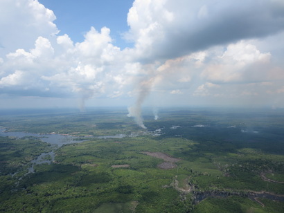
At about 1600Z, we descended again to be at low level near Alta Floresta, and at 1614Z we entered the smoke-polluted boundary layer at 15,000’. Some fires were visible, but no really big ones. Cloud base was at about 6200’, and once close to the ground we were flying over the huge areas of deforestation that are characteristic of the State of Mato Grosso. Soon we got really excited - a fire below was producing a plume of smoke that was growing into a nice, mid-sized cumulus. We actually managed to target this cloud several times and made some successful passages through it. – I’m sorry to be so enthusiastic about air pollution, but that’s what we are here to study!

PictureHunting for the Goldilocks cloud
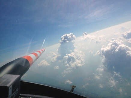
The cloud development looked quite promising in this area, and we decided to give it a go here, instead of moving on to our contingency region. At 1654Z we began our usual procedure of cloud profiling, climbing and descending, turning in all directions to fly through the clouds at just the right spots. It’s like Goldilocks: Not so far into the cloud that things start shaking too wildly, but far enough to get good data. This time we managed to get a nice fresh outflow from a cumulonimbus cloud at 35,000’. Flying below the clouds we learn what the clouds suck in from the boundary layer, flying in the outflow we find out what they spit out into the upper troposphere.

Picture
Cruising under the outflow
Picture
Cumulonimbus with outflow
We were done with the cloud profiling at 1937Z, turned towards Manaus, and climbed to 41,000’. On the way back we sampled ice crystals in the large regional outflow “soup” and landed again in Manaus at 2109Z. This flight had been a total success, and everybody went back to the hotel with a sense of accomplishment.
Picture
This is the outflow we sampled!
Picture
Hard at work during the flight
Picture
Evening over the Amazon
(Thanks to Pilot Steffen Gemsa for contributing some of the pictures)
0 Comments

ATTO Rising (18 Sep 2014)

9/22/2014

0 Comments

 
Picture
This evening, I received some really great news: The steel parts of the ATTO Tall Tower, which I had seen lying on the ground during my visit a few days ago, were finally coming together to form a tower! Construction began today, and quickly the first few meters and tens of meters were rising through the forest canopy. A project that has been in the making for six years was finally becoming reality!

Picture
The ATTO tower on the first day of construction (left) and a day later (above, photo credit: Isabella Hrabe)
0 Comments

Dirty Cloud profiling – First Attempt (AC12 – 18 Sep 2014)

9/21/2014

0 Comments

 
PictureView from my hotel, Ji Parana, 2002
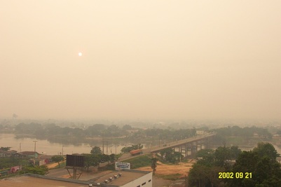
The central idea of ACRIDICON is to compare the interactions between aerosols, cloud, rain, and radiation in clouds that are meteorologically similar, but contain different amounts of aerosol particles. We have so far sampled moderately polluted clouds (AC07) and fairly clean clouds (AC09). Now we are hunting for really dirty clouds. One thing I had never expected in the Amazon dry season: That finding really polluted air would be a problem. In previous campaigns, there were so many fires producing so much smoke that one could almost cut the air with a knife. I remember a morning in Ji Parana in 2002, where I woke up in the hotel room, smelled smoke, went into the hall way and, looking down the hall, saw smoke haze. I first thought the hotel was on fire, but it was just the heavy smoke that covered the whole region!

PictureBig Cumulonimbus to our East
Well, this year we have to look pretty hard to find really polluted air. It appears that deforestation has really gone down in recent years, and that this shows up in improved air quality. A good thing for everybody, of course, except for us smoke hunters! We are further constrained by the area that we are allowed to operate in and by the need to find just the right kind of convective clouds. This makes flight planning a bit of a gamble, especially since weather forecasting in this region is not as reliable as one would like, to put it mildly.

Today, we put our bets on an area south of Alta Floresta, where the satellites had seen a large region of smoke, not very heavy, but good enough. The forecast was not for very strong convection, but we were willing to take a chance. HALO took off at 1052L and passed through a mix of clouds. Soon we saw nicely developed cumulus to our east, and even some threatening-looking giant Cb. Promising, but here the air was too clean for our purposes.

PicturePolluted air around Alta Floresta. Note the brown haze top at the inversion level
When we reached Alta Floresta, the air was dirty enough, but there were hardly any clouds! We flew over large deforested areas, and saw a few smallish fires. But, one of the actually had its smoke plume rising into a little cumulus cloud – a pyrocumulus! Even though it was small, we got quite excited and sampled through it. By this time (1250L), the clouds had started to develop quite nicely, and we began our cloud profiling routine. We went through cloud after cloud, getting shaken around, turning sharply again and again to get back into the next cloud, much to the discomfort to our Air Force observer who got quite airsick!

PictureA cumulus breaking through the inversion
BUT – the strong inversion that was present at about 15,000’ made it difficult for clouds to rise through this level. Some valiantly pushed through and reached as much as 18,000’, but quickly collapsed, exhausted from their effort. It seemed that just as soon as we had made a passage through a cloud, it fell apart behind us. We joked in the cockpit that we were breaking the clouds with our airplane…


PictureBeautiful Cb seen on the way to Manaus
At 1515L it became clear that the clouds weren’t likely to rise any higher. Actually, there were beautiful clouds growing way higher just to the east of us – BUT – this was in a military area that we weren’t allowed to enter. How frustrating! We decided to head back to Manaus, collected some measurements in cirrus and outflow on the way back, and landed at 1652L. It was a great flight all in all, but we were still a bit disappointed because the clouds had fizzled out just below the level where ice starts to form, one of the phenomena that we are really interested in.

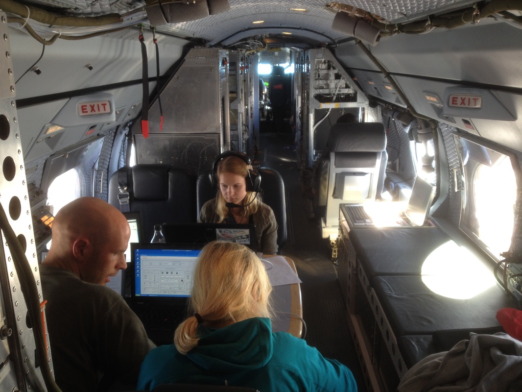
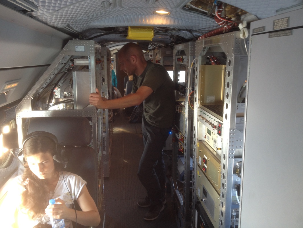
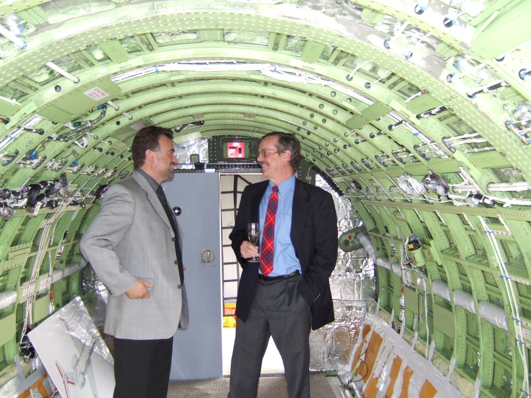
On this flight I took some pictures of the inside of HALO. There is one open area with a table, but the rest is packed with instruments. What a difference from the situation in the picture that was taken in 2006!
Picture
Picture
0 Comments

Tracer Transport Experiment (AC11 – 16 Sep 2014)

9/21/2014

0 Comments

 
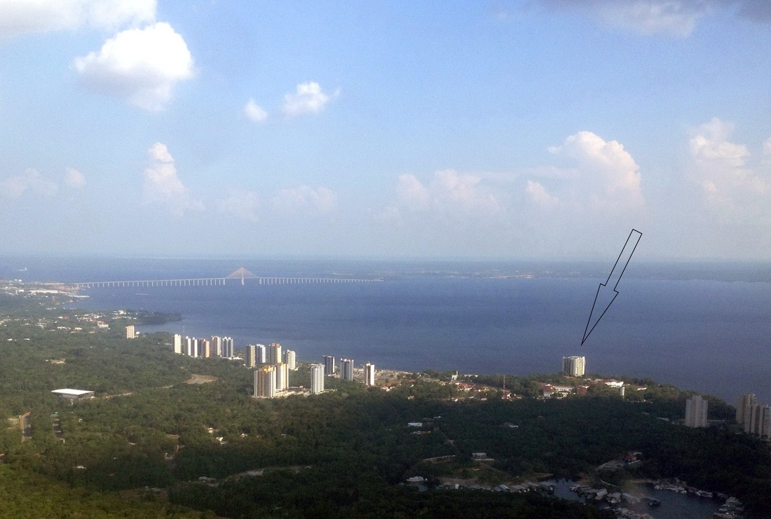
Pollutants in the atmosphere are transported horizontally by the winds and carried upwards by rising warm air and clouds. To find out the details of this transport, one can release small amounts of a substance that can be measured in incredibly minute concentrations in air samples. To do this, we went to the helicopter pad on top of the Park Suites hotel.
Picture
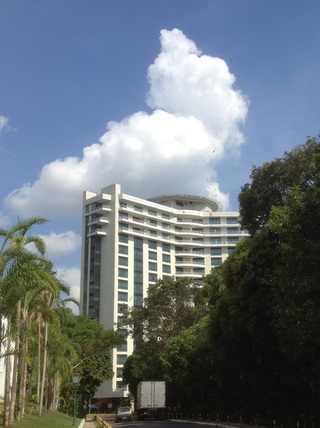
Above: The Park Suites Hotel on Ponta Negra beach. The bridge over the Rio Negro is in the background Right: The Park Suites. The Heliport is visible on top of the hotel.
Picture
Picture
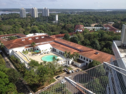
From here, one has a breathtaking 360-degree view over the Rio Negro, the Ponta Negra beach, the Hotel Tropical (left), and parts of Manaus. Standing on the edge of the heliport one gets a hollow feeling in the stomach...


PictureReleasing the tracer
The tracer was released from the heliport at about 06:00L and HALO took off at 10:40L.


The first part of the flight consisted of collecting air samples at low levels in the area where the models had forecast that our tracer would spread out to. Then came a comparison flight with the G1 aircraft in formation at low level.

Picture
On this day, there were lots of fires all over the area surrounding Manaus, which sent smoke into an otherwise relatively clean boundary layer and into the cumulus clouds rising out of it. Three more runs to collect air samples followed, to find out where the tracer was moving to as time went on. These runs were interspersed by a cloud profiling program, taking measurements of cloud properties at different altitudes.

Picture
Towards evening, the atmosphere showed remarkable layering, with the layers marked by haze or thin clouds. These layers were the product of air from the boundary layer flowing out of the top of clouds, bringing along pollution (carbon monoxide, aerosols, etc.) from below. At 17:40L, HALO landed again at Manaus’ Eduardo Gomes Airport.


0 Comments

A trip to the Amazon Tall Tower Observatory, Part 2 (15 Sep 2014)

9/17/2014

1 Comment

 
Picture
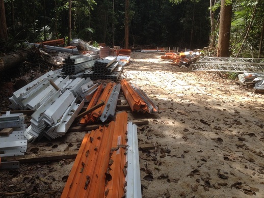
The night in the hammock was short. At 0430 there were noises from the forest and soon also from the kitchen, and I found myself awake. Daybreak is actually a nice time in the forest – the air is still cool and there are lots of interesting calls from birds and monkeys. The most prominent is the call of the Screaming Piha (it must be the most inconspicuous bird with the most conspicuous call!). After breakfast and talking some science, I went again to the tower construction site in the hope of seeing some action, but only found the steel quietly waiting in the forest.

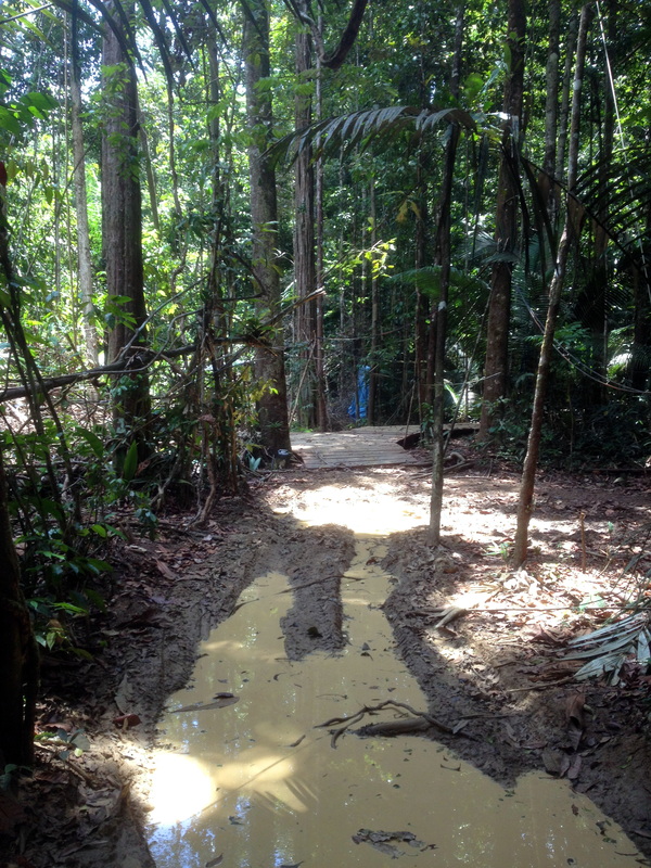
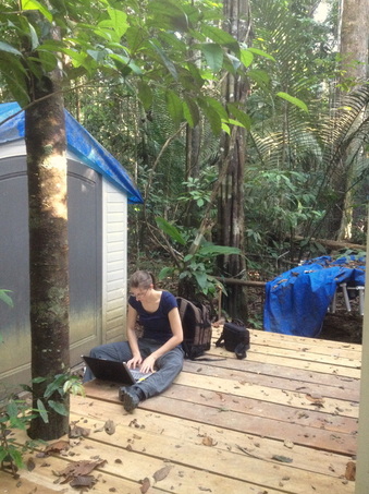
A great thing the ATTO crew has done recently is to build a boardwalk between the different lab containers. It makes moving around a pleasure instead of a muddy slog, and it preserved the soil and cover vegetation around the measurement sites.

Picture
In the back, the boardwalk. In front, the "road" to the containers without the boardwalk.
Picture
The boardwalk is even a nice place to work!
PictureJust above the canopy
One of the great joys of being at our tower sites is the opportunity to climb one of the walk-up towers into the forest canopy and get close to this amazing plantscape. Here also one has the best chance of seeing the forest fauna, which otherwise is always too far up to be seen. Usually, birding in the rainforest leaves you with a painful neck and steamed up glasses…

PictureView over the forest. The aerosol sampling mast is in the foreground
Climbing above the canopy brings one into another world again. Instead of the dark gloom of the understory there is bright sunshine up here, instead of the stifling still, humid air there is a cool breeze, instead of the enclosed sensation in the forest, an unending wide open space. Climbing up to the top at 80 m feels a little dicey, but is perfectly safe and the reward is a fantastic view over the Amazon forest.


Picture
Unfortunately, my high hopes for the local bird fauna were dashed. I saw a total of 7 (seven!) individuals, none of them well enough to identify. At least the class Arachnida obliged: When I saw a slight movement in the shadow of the tower to my side, I turned around and saw a beautiful tarantula cruising around the small platform that Eiko Nemitz’ ammonia measurement. Do spiders emit ammonia? We might find out!


At 1230, it was time again to leave ATTO, and another 5½ hour trip by foot, ATV, boat, and pickup truck brought me back to Manaus for the end of the science team meeting.  


1 Comment
<<Previous

    Author

    I'm M. O. "Andi" Andreae, one of the coordinators and flight scientists of the ACRIDICON-CHUVA scientific campaign. I work at the Max Planck Institute for Chemistry in Mainz, Germany

    Archives

    October 2014
    September 2014
    August 2014

    Categories

    All

    RSS Feed


Powered by Create your own unique website with customizable templates.