ACRIDICON-CHUVA
  • Blog
  • About
  • Contact

Goodbye Manaus - Hello Oberpfaffenhofen (AC21/22)

10/8/2014

0 Comments

 
Picture
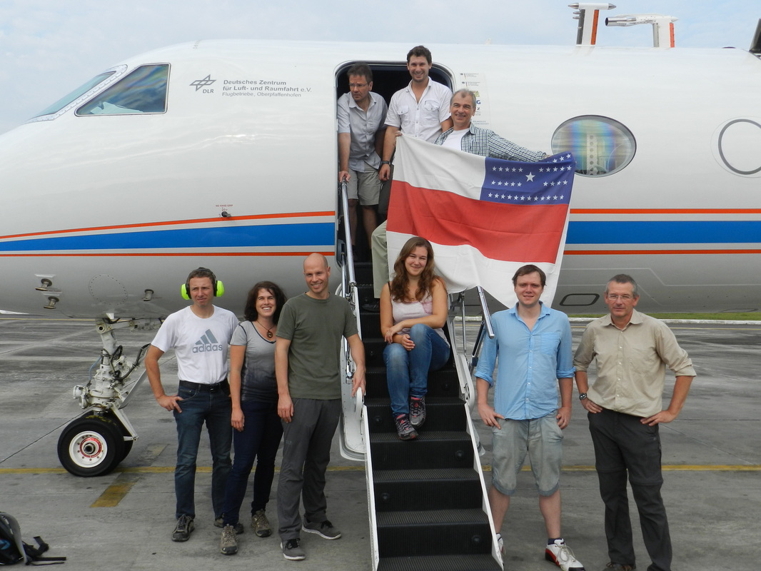
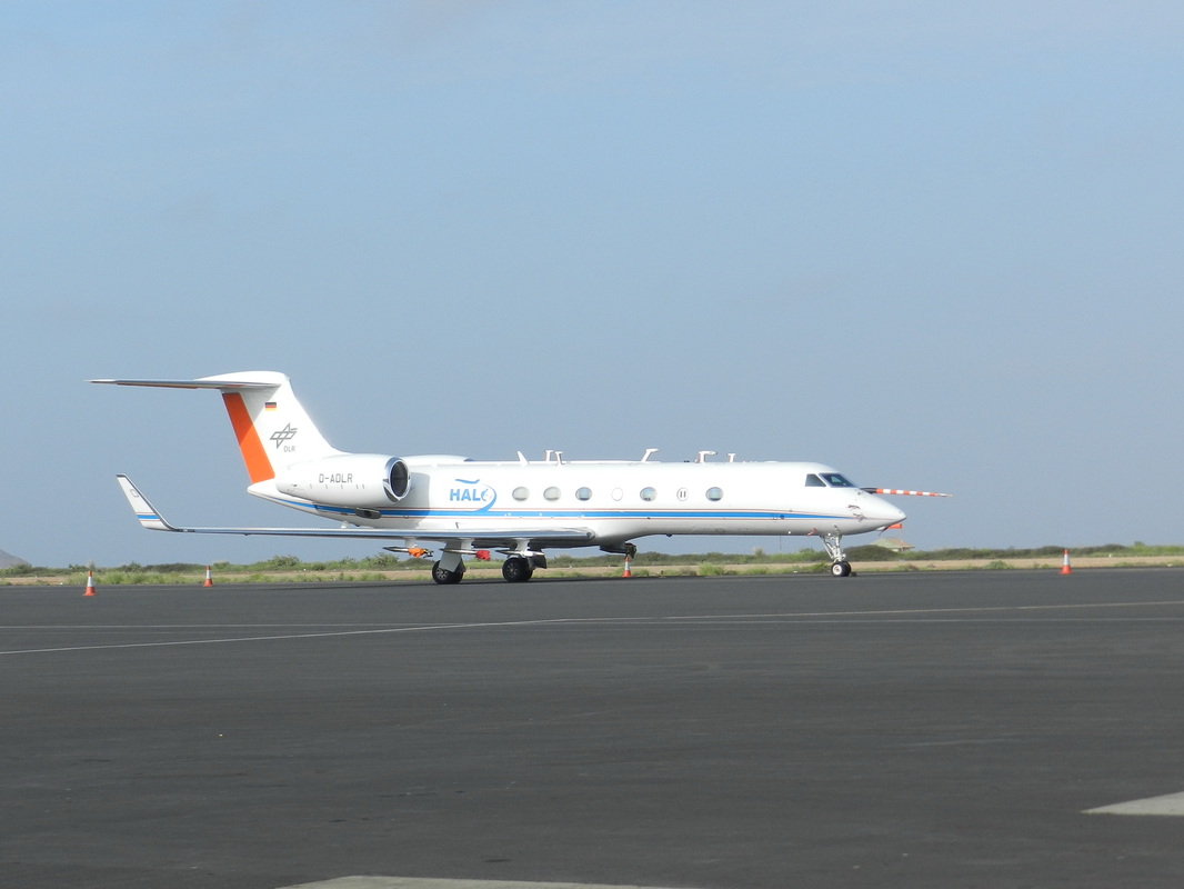
The crew on the return flights. In front from left: Alex Wolf, Tina Jurkat, Bernhard Buchholz, Christiane Schulz, Frank Werner, Stefan Mertes. In back: Steffen Gemsa, Max Dollner, Stefan Grillenbeck
Picture
Transfer flights are like road movies: The journey is the reward.

To transfer HALO back to Oberpfaffenhofen it takes two 6 h flights from Manaus, with a stopover at Sal in the Cape Verde Islands. The take-off at Manaus was planned for 8:00 o’clock in the morning on October 3. Our handling agency arranged the exit documents and a flag of the Amazonian district for a last picture of HALO in Manaus. Since we had no Brazilian scientist and no military observer aboard, altogether six scientists from Germany and three crew members were operating the aircraft. Without the Brazilian observer on board, we were not allowed to take data above Brazilian territory. Our colleagues in Manaus gave us last instructions on how to turn on the instruments once we left Brazilian air space. They gave us a warm farewell and wished a good journey and received a pile of postcards that we had missed to send.
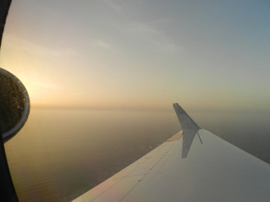
PictureSunset on the Sahara dust layer
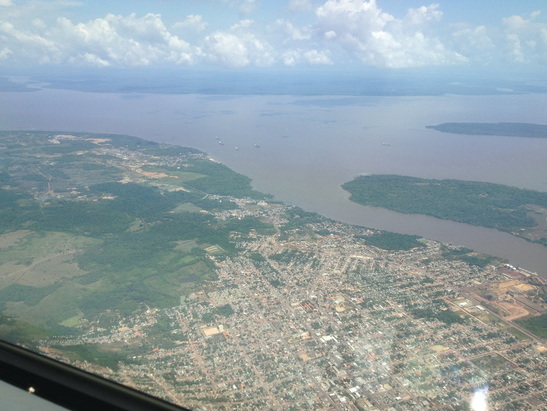
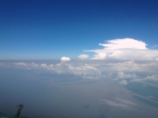
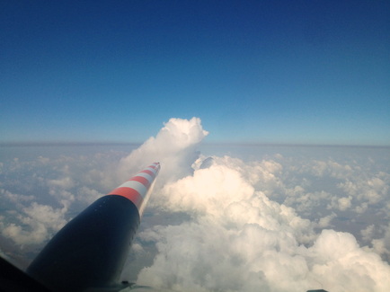
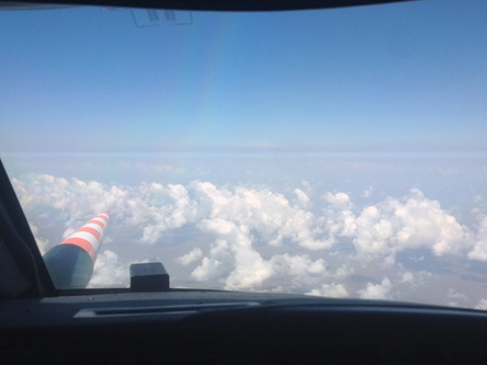
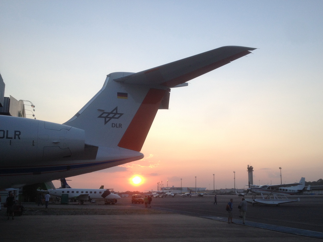
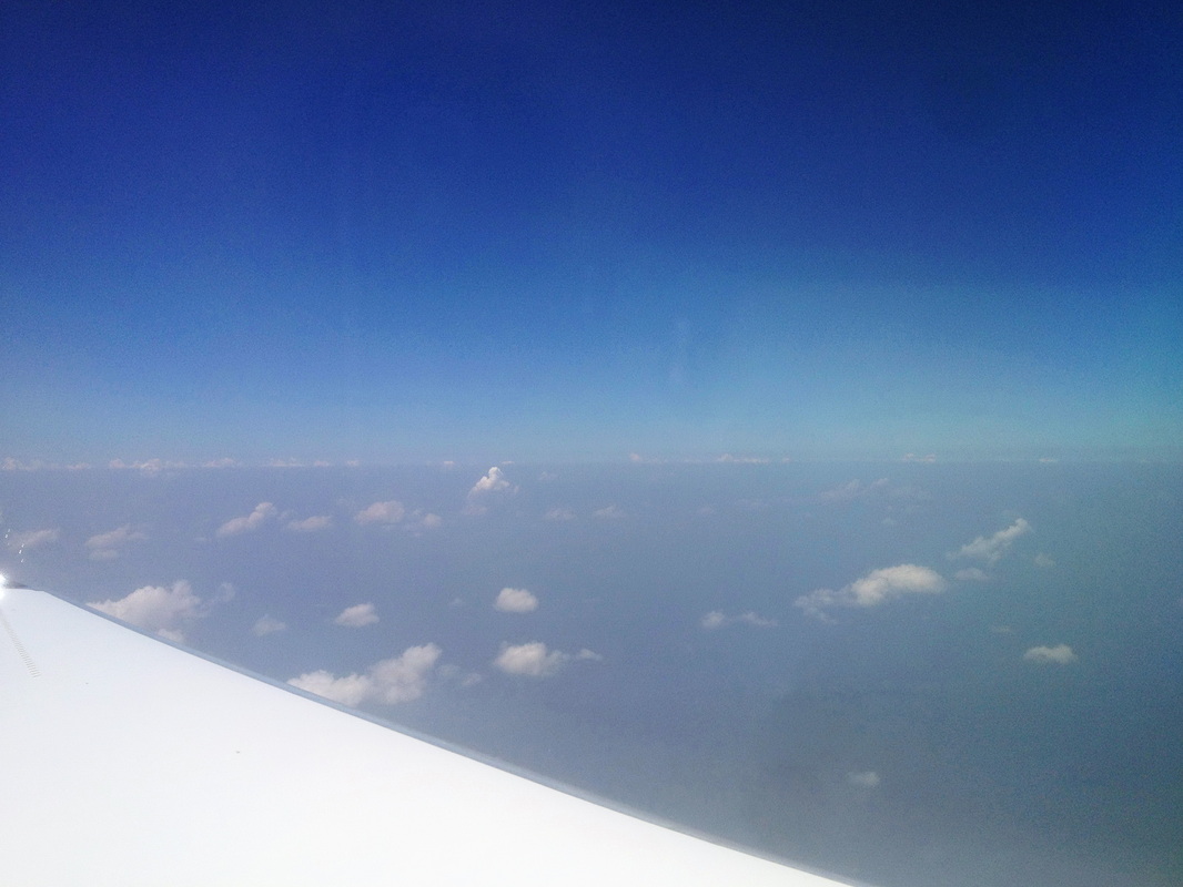
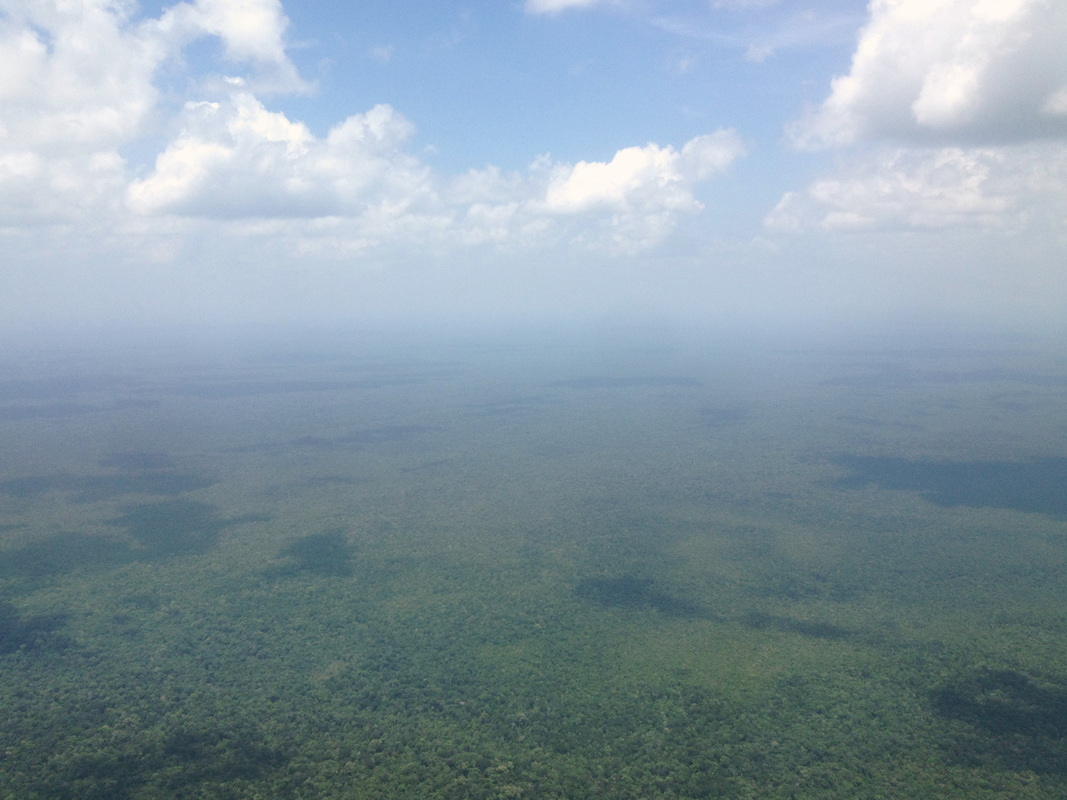
Travelling with HALO without running instruments is quite relaxing. We enjoyed watching the Amazon Basin, the thick forest, and the coastline of Brazil. After three and a half hours we left Brazilian air space and were allowed to turn on the instruments. We were heading for a Sahara dust layer near Cape Verde, which gave us some time to set up the measurement. We travelled at FL410 and FL430, sampling remote aerosol concentrations at high altitudes over the Atlantic Ocean.  Approximately half an hour southwest of the coast of Cape Verde we descended to FL100 going into a thick Sahara dust plume during sunset and landed at Sal at 18:00 o’clock local time. Yet another interesting data set we can carry home.
Picture
The second part of the transfer started the next day with a hectic preparation of the instruments. HALO was parked outside; fortunately we had no storm or rain that night.  We had only about 1 h before take-off to turn on the instruments and get things running before sampling another dust event near Sal. Take-off was at 8:00 o’clock. We ascended to FL100 but had to realize that the dust cloud was below us. Thus our radiation measurements collected some valuable data while flying above the dust cloud.

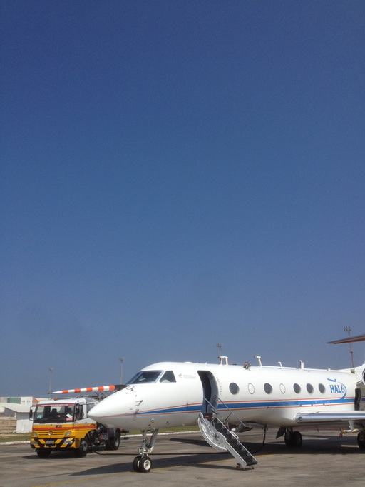
Left: Parked outside in Sal
Picture
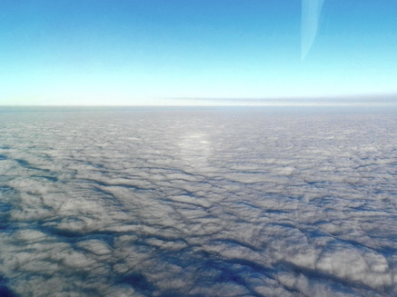
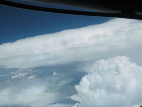
We ascended again to FL430 to 390 sampling high-altitude aerosol particles over Europe and trying to encounter mid latitude cirrus clouds. The final descent reminded us that this is the last mission for ACRIDICON, and as a goodbye gift HALO rewarded us with a glory in the thick water cloud cover over Oberpfaffenhofen.


Guest blogger and photographs: Tina Jurkat
0 Comments

The Last Mission in the Amazon (AC20 - 01 Oct 2014)

10/5/2014

0 Comments

 
PictureThe "Textbook Outflow"
AC20 was the last flight of ACRIDICON-CHUVA campaign in Brazil. Altogether we had 14 scientific flights based here in Manaus, we spent almost hundred flight hours in the air. This is quite impressive, in particular taking into account the harsh environmental and technical conditions here in the Amazon. The instruments worked surprisingly well, we had no major failures. Also, HALO itself was not grounded for technical reasons throughout the entire campaign.

We took off for AC20 with three mission objectives: (a) to have another coordinated flight with the American G1, to sample outflow (because we had the feeling that the data collected so far for the outflow mission type were not yet complete), and (c) finally to collect more cloud profile data. Because of missing clouds we failed with the attempt to collect more measurements for the coordinated flight with the G1 (mission objective a). However, in particular the outflow sampling was very successful.
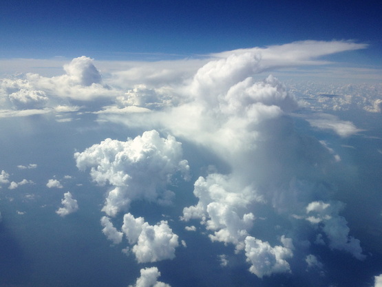
We picked a textbook outflow on our way and crossed it in numerous altitudes perpendicular and parallel. We were flying above and below this poor outflow cloud. This made sense because amazingly the cloud seemed quite stable during the 2.5 hours it took us to sample it. Near the end of the sampling the outflow descended, and lost momentum.

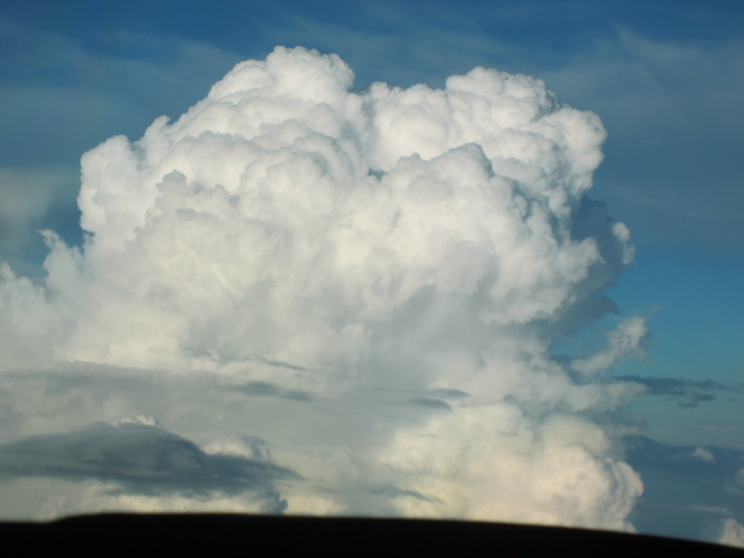
On our way back we managed to collect another of the "ever popular" cloud profiles, see photo.
Picture
Guest blogger and photos: Manfred Wendisch
0 Comments

Clouds over the Atlantic (AC19 – 30 Sep 2014)

10/3/2014

0 Comments

 
Picture
Now that we had sampled the various types of continental convection, we needed to explore a contrasting regime – the convective clouds over the tropical Ocean. Here we expected to find the lowest aerosol particle concentrations, in combination with a greater input of moisture and latent heat. Again the morning sky was cloudless, and again the first few cu’s started up around 1030L.


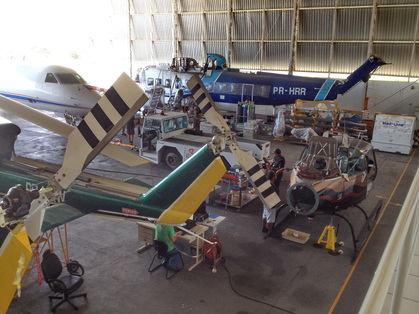
Left: HALO's crowded home away from home - the whole airplane didn't even fit into the hangar!


Picture
We took off at1052L (1452Z) in an easterly direction (it’s always runway 10 in Manaus) and climbed to 39,000’, heading towards the Atlantic. We soon reached Santarem, where the Tapajos River joins the Amazon. Here we were able to observe an interesting phenomenon: the “river breeze” effect. It is analogous to the sea breeze, where greater heating over land causes local convection and a line of clouds along the coast. This draws in air from the cooler sea, the “sea breeze”. Over the cooler water, air subsides resulting in the absence of clouds over the water. The rivers in the Amazon are large enough to cause the same phenomenon, which could be easily seen along the wide Rio Tapajos.

PictureMacapá, on the mouth of the Amazon River
After Santarem, we turned northeast towards Macapa. We passed a beautiful, large pyrocumulus way below us, and I was tempted to change the flight plan and descend to investigate it. But this would have taken so much time that we would have risked our chance to work over the Ocean. After a while, we descended to make our lower-level measurements, and for all intents must have looked to the air traffic controller at Macapa like we were making an approach to land there. She asked us where we planned to land, and when we answered “Manaus” she must have thought that we were a bunch of gringos who were REALLY lost! She told us “Standby”, probably to confer with the area controllers who must have told her that we were harmless. She then asked us to call her again when we were 37 miles away on the other side of her airport, surely looking forward to be rid of us again.

PictureClouds poking through the polluted haze layer near Macapá
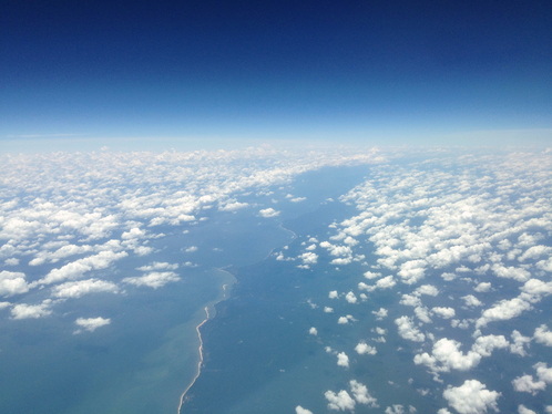
Soon we were over open water, which in this case looks like milk coffee from the giant plume of the Amazon River that stretches out over the Atlantic for hundreds of miles. Convection was not particularly abundant over the Atlantic, but we were lucky to find a long cloud street that we could use to make our cloud profiles in. It was nice to get lots of measurements by just zipping along this cloud street at different levels, back and forth.


PictureTaking aim at a cloud top
Before we began our measurements over the sea, I had been a bit apprehensive about our prospects to get data in clean air. The air over the coastal region had still been quite polluted, and I had observed a number of brown pollution layers at various altitudes during descent. Down in the boundary layer, however, the particle concentration was about 300 per cc, typical of clean marine conditions. The clouds acted accordingly, producing ample rain at quite low altitudes.  

PictureMultiple pollution layers over the Ocean
But even some 100 nautical miles offshore, we still saw the brown pollution layers above 10,000’, which some of the taller clouds pushed through. As they were coming on easterly winds and made no sign of diminishing with distance from shore, they appear to be the result of long-distance transport of smoke from vegetation fires in Africa.

Picture
Our work over the Atlantic done, we headed back towards the Amazon at 14,000’ to measure the gradient in cloud properties from ocean to land. Over land, we happened upon a pyrocumulus over a fire northwest of Belem, which we took a few minutes to sample.

Picture
Eventually, we climbed to FL430 again for our way back. Close to Manaus we saw a large outflow from a huge Cb near Manaus, and since we had a little flight time left, we decided on the spot to make a measurement run through it.

Picture
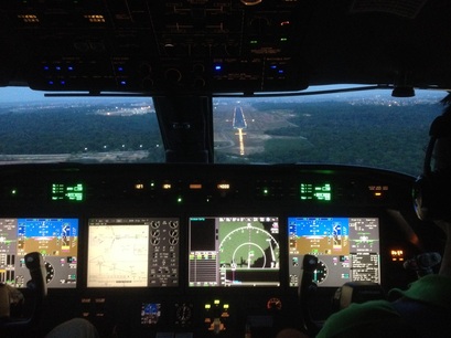
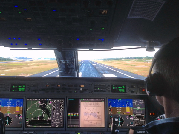
On the approach to Manaus airport, we had a surprise: we were informed that because of “rubber removal from the runway” we had to enter a holding pattern. So we spent another 15 minutes circling at 4000’ before we could land at 2200Z. This was my last flight during ACRIDICON; tomorrow I’ll be flying back to Germany. Sitting on a cramped commercial flight, I’ll miss the excitement of being on HALO!


Picture
0 Comments

A Quest for Clean Air (AC18 – 29 Sep 2014)

10/2/2014

0 Comments

 
PictureFlight preparations in the "lab/office" in the hangar
The weather patterns in Amazonia had been pretty unusual over the last few days. Even in the “dry season”, there are usually quite frequent showers and thundershowers in central and northern Amazonia – the rain forest needs a steady supply of rain. But lately it has been quite dry over almost the entire Basin, because a high pressure system has parked itself over the region. This has several consequences, none of them good for us: The high pressure suppresses the deep convection that produces the tall clouds, which we are here to investigate. The lack of rain prevents the removal of aerosol particles from the atmosphere, so that it becomes increasingly difficult to find areas with very clean air. And finally, the circulation around the high swiftly moves the dense smoke from the fires in the southern part of the Basin out in a southeasterly direction, away from us und in the direction of São Paulo. This makes it hard for us to find the other extreme: very, very dirty air. Under these circumstances, flight planning requires a lot of information from satellites and models, and also a good amount of luck.

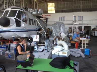
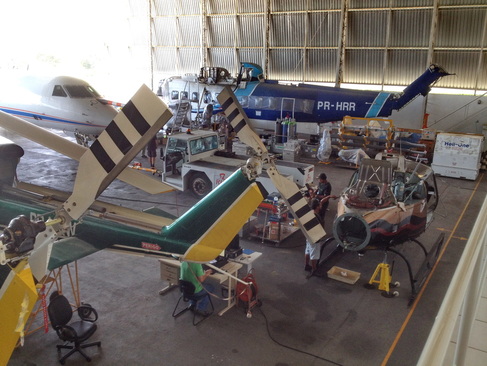
PictureThe hangar is pretty crowded!
The cleanest air and the most rain in Amazonia is usually found in the northwestern-most part of the Basin, in the region of São Gabriel da Cachoeira. This place is reputed to have no dry season – it supposedly always rains there. The weather forecast models had also suggested the best chance for convection in the western part of Amazonia, near the border to Colombia, and the air pollution models predicted clean air. So, that’s where we decided to go. 

Picture
The morning did not start very promising: Until about 0900L, the sky was clear blue without any cloud at all! It took until about half an hour before our takeoff at 1426Z (1026L) for the first little cumulus clouds to pop up. We climbed through a pretty hazy layer that reached up to about 10,000’. Reassuringly, some clouds already poked up through this layer, and eventually we found ourselves flying over a good crop of mid-sized cu’s. We descended into the boundary layer east of São Gabriel and found air as clean as one can hope for in the dry season, with about 700 particles per cc.


Left: A VERY blue sky in the morning!


Picture
The first cloud is poking out of the haze layer
Picture
Clean air over the western Amazon
PictureThe cloud with the mature anvil is on the right, the one that is still actively growing in the back left
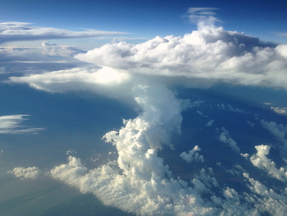
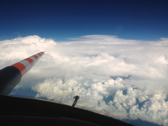
We sampled lots of mid-sized clouds along the way, at altitudes up 14,000’, and began our systematic cloud profiling at 1638Z. As we kept climbing to higher altitudes, we were happy to see that the clouds were climbing along with us, and eventually we found ourselves at 37,000’. Here we could sample three clouds, one that was still actively growing, another that was just in the process of topping out, and a third that had already converted to an outflow anvil. 

Picture
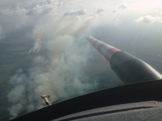
This concluded our mission goals and we headed back towards Manaus. Luck had been with us! On the way back, we had to detour around a huge cloud complex that we estimated to reach above 50,000’. This shows that the few thunderstorms that can break through the inversion barrier can then develop into real monsters! We landed again in Manaus at 2113Z. 

Picture
Landing in Manaus

0 Comments

The AC17 Team

10/1/2014

0 Comments

 
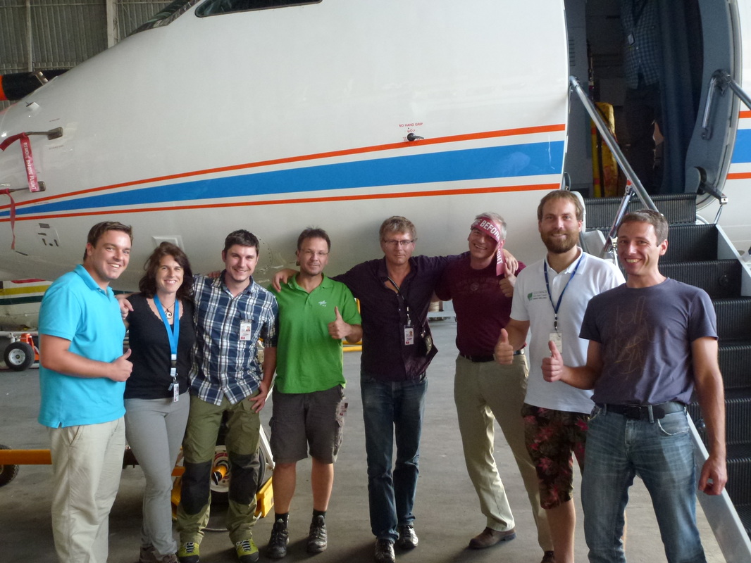
I just found this great picture of the AC17 Team doing the Brazilian thumbs-up salute
Picture
Christopher Heckl, Tina Jurkat, Daniel Fütterer, Steffen Gemsa, Manfred Wendisch, Stefan Grillenbeck, Tobias Kölling, Alex Wolf
0 Comments

    Author

    I'm M. O. "Andi" Andreae, one of the coordinators and flight scientists of the ACRIDICON-CHUVA scientific campaign. I work at the Max Planck Institute for Chemistry in Mainz, Germany

    Archives

    October 2014
    September 2014
    August 2014

    Categories

    All

    RSS Feed


Powered by Create your own unique website with customizable templates.