 Promising cloud development on the way south
 Yesterday we had the right levels of smoke pollution for our study (we want to find out how air pollution changes the behavior of clouds), but there was not enough energy in the atmosphere to make the clouds rise to the levels where water clouds become ice clouds. Since we want to get a complete cloud profile, we had returned a little disappointed last night. Today, we were a bit anxious about running into the same problem again, and made contingency plans for alternative flight regions, but we decided to start with the same study area as yesterday, south of Alta Floresta.
The morning started like most mornings in Manaus: A little bit of low-to-mid-level cloud in the sky, some small cumulus developing around 0930L. We took off at 1447Z (10447L) climbed towards FL390. With some relief we noted that there were not the big cells already dominating the sky like yesterday, but more active development of mid-size cumuli. That’s a good thing, because these big cells tend to drain all the energy from the atmosphere in their surroundings, leaving nothing for the “middle class”, which is what we want –dare- to fly into.
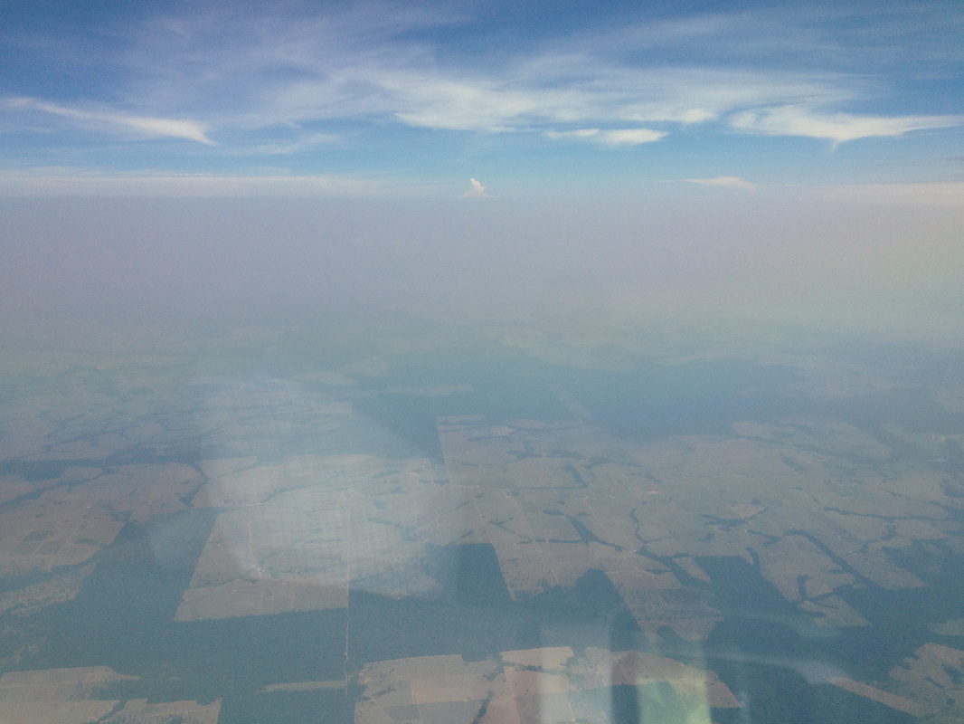
Entering the smoky boundary layer
| 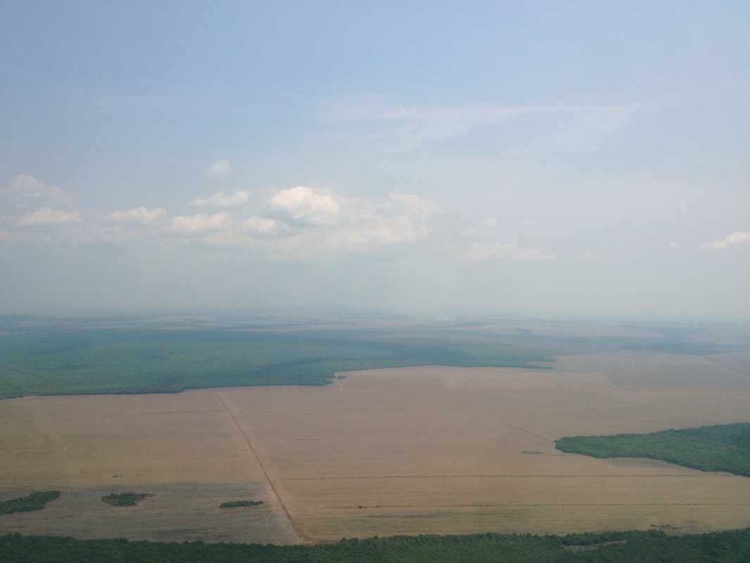
Large deforested areas in Mato Grosso (also on the picture to the left)
|
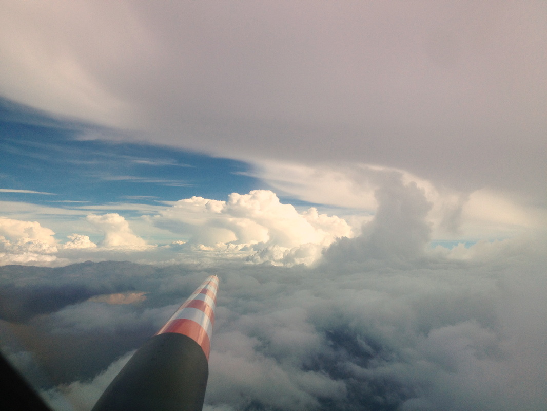
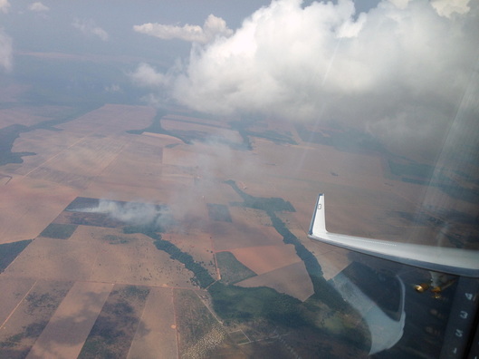 Fire and pyrocumulus
 At about 1600Z, we descended again to be at low level near Alta Floresta, and at 1614Z we entered the smoke-polluted boundary layer at 15,000’. Some fires were visible, but no really big ones. Cloud base was at about 6200’, and once close to the ground we were flying over the huge areas of deforestation that are characteristic of the State of Mato Grosso. Soon we got really excited - a fire below was producing a plume of smoke that was growing into a nice, mid-sized cumulus. We actually managed to target this cloud several times and made some successful passages through it. – I’m sorry to be so enthusiastic about air pollution, but that’s what we are here to study!
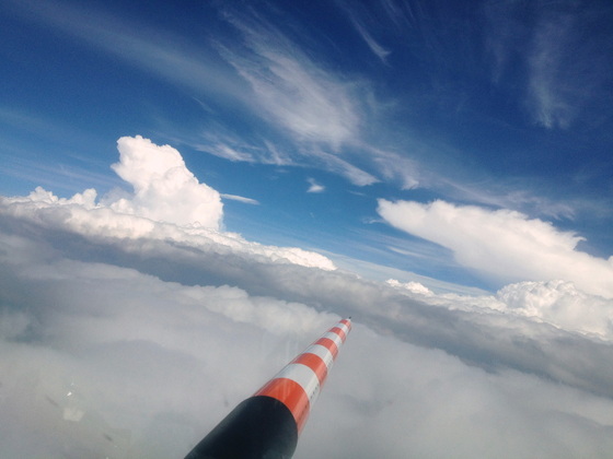 Hunting for the Goldilocks cloud
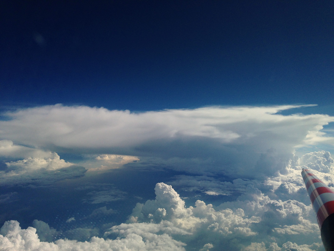
 The cloud development looked quite promising in this area, and we decided to give it a go here, instead of moving on to our contingency region. At 1654Z we began our usual procedure of cloud profiling, climbing and descending, turning in all directions to fly through the clouds at just the right spots. It’s like Goldilocks: Not so far into the cloud that things start shaking too wildly, but far enough to get good data. This time we managed to get a nice fresh outflow from a cumulonimbus cloud at 35,000’. Flying below the clouds we learn what the clouds suck in from the boundary layer, flying in the outflow we find out what they spit out into the upper troposphere.
Cruising under the outflow
| 
Cumulonimbus with outflow
|
We were done with the cloud profiling at 1937Z, turned towards Manaus, and climbed to 41,000’. On the way back we sampled ice crystals in the large regional outflow “soup” and landed again in Manaus at 2109Z. This flight had been a total success, and everybody went back to the hotel with a sense of accomplishment.
This is the outflow we sampled!
| 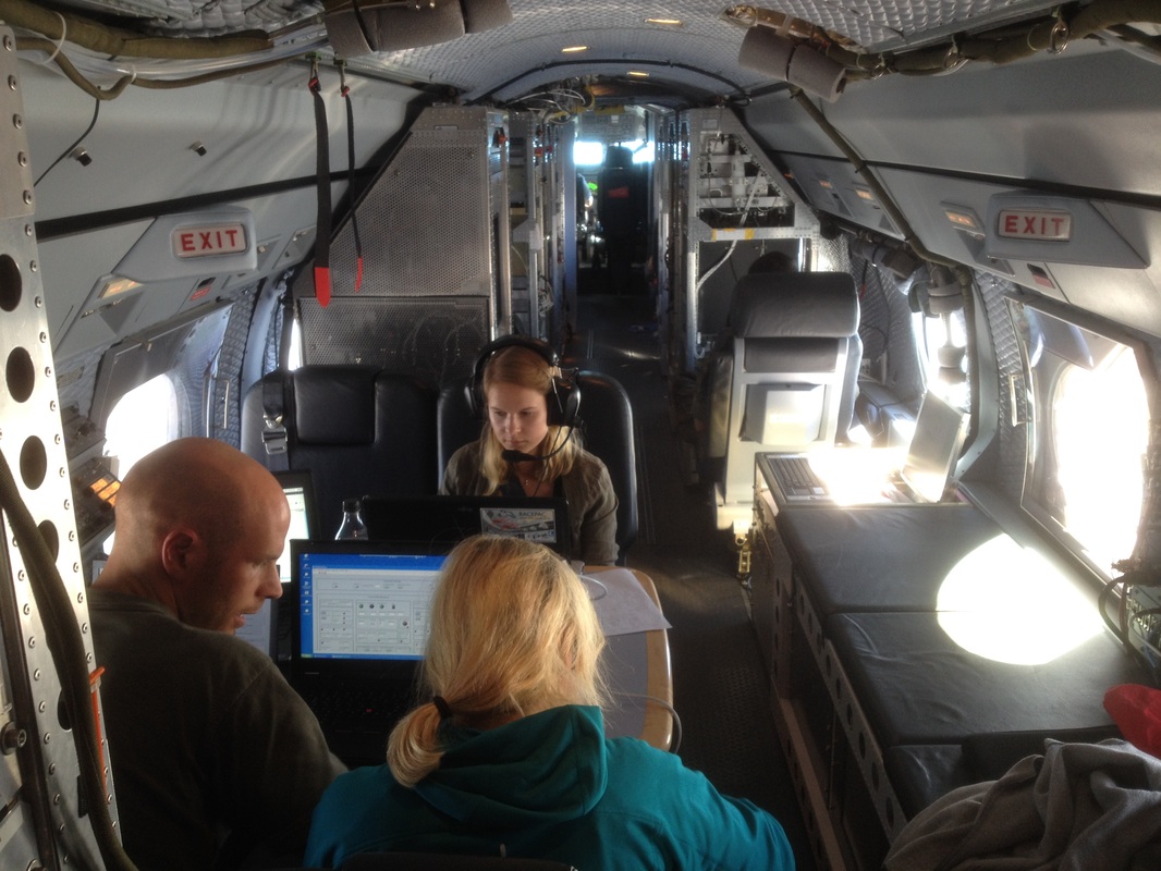
Hard at work during the flight
|
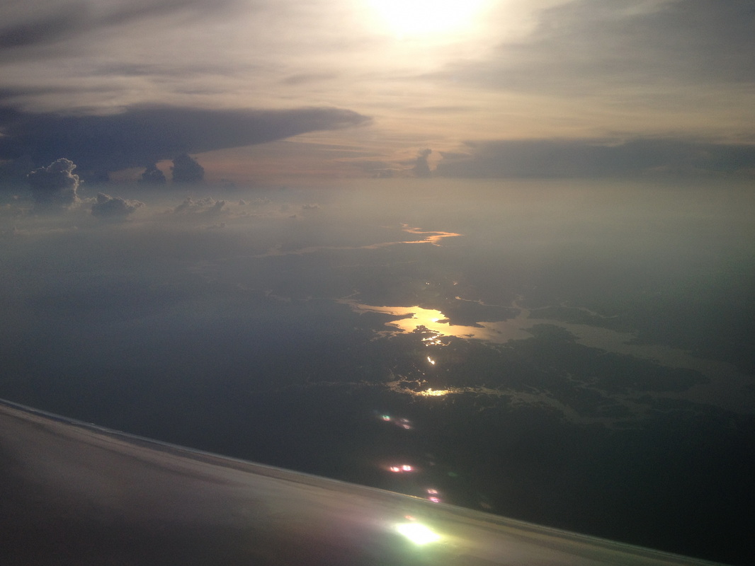
Evening over the Amazon
(Thanks to Pilot Steffen Gemsa for contributing some of the pictures)
 RSS Feed