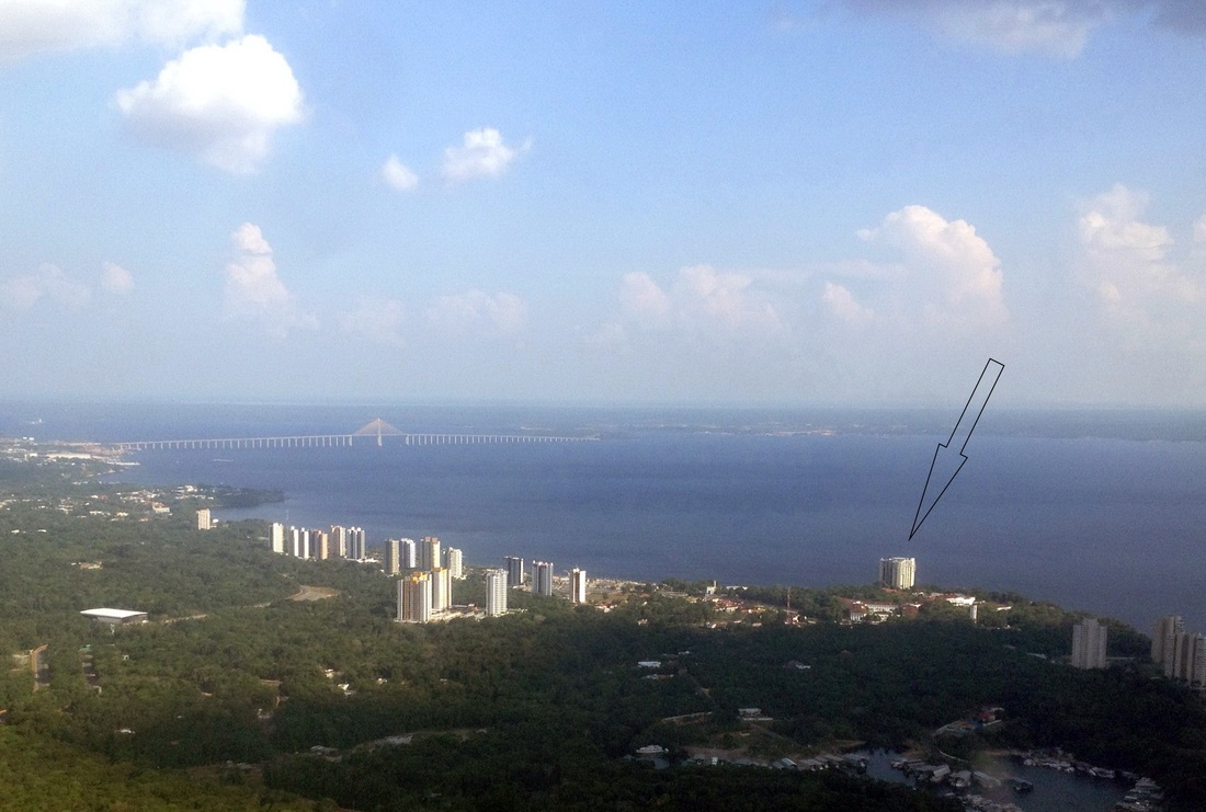
Pollutants in the atmosphere are transported horizontally by the winds and carried upwards by rising warm air and clouds. To find out the details of this transport, one can release small amounts of a substance that can be measured in incredibly minute concentrations in air samples. To do this, we went to the helicopter pad on top of the Park Suites hotel.
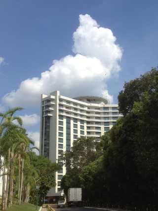
Above: The Park Suites Hotel on Ponta Negra beach. The bridge over the Rio Negro is in the background Right: The Park Suites. The Heliport is visible on top of the hotel.
| 
|
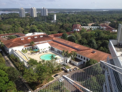
From here, one has a breathtaking 360-degree view over the Rio Negro, the Ponta Negra beach, the Hotel Tropical (left), and parts of Manaus. Standing on the edge of the heliport one gets a hollow feeling in the stomach...
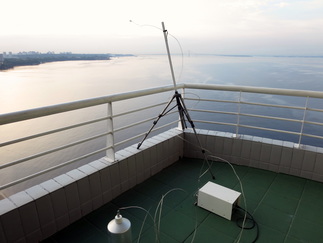 Releasing the tracer
 The tracer was released from the heliport at about 06:00L and HALO took off at 10:40L.
The first part of the flight consisted of collecting air samples at low levels in the area where the models had forecast that our tracer would spread out to. Then came a comparison flight with the G1 aircraft in formation at low level.
The first part of the flight consisted of collecting air samples at low levels in the area where the models had forecast that our tracer would spread out to. Then came a comparison flight with the G1 aircraft in formation at low level.
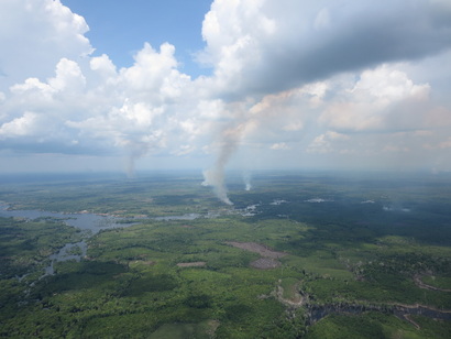
On this day, there were lots of fires all over the area surrounding Manaus, which sent smoke into an otherwise relatively clean boundary layer and into the cumulus clouds rising out of it. Three more runs to collect air samples followed, to find out where the tracer was moving to as time went on. These runs were interspersed by a cloud profiling program, taking measurements of cloud properties at different altitudes.
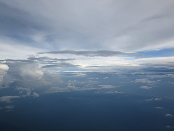
Towards evening, the atmosphere showed remarkable layering, with the layers marked by haze or thin clouds. These layers were the product of air from the boundary layer flowing out of the top of clouds, bringing along pollution (carbon monoxide, aerosols, etc.) from below. At 17:40L, HALO landed again at Manaus’ Eduardo Gomes Airport.
 RSS Feed